Since Early America, land surveying has successfully mapped unknown territories and established governmental and private boundaries. Both George Washington and Thomas Jefferson were surveyors, utilizing a number of tools such as a compass, chains, and some early version of a transit or sextant to gather land distances, angles, and elevations. Today, land surveying with drone technology adds an additional layer of land access, monitoring, and precision measurement and documentation.
Drone technology allows for safe mapping of terrains and property, producing high-quality surveying results that equal or surpass traditional methods, and is a cost-efficient way to complete more projects in less time. Whether you are a land developer, construction engineer, or a full-service A&E firm, utilizing a drone surveying service can decrease project time, reduce overall costs, and provide planning and development resources with additional ground images and aerial views of urban landscapes.
According to a recent online Fortune article, construction losses can amount to over $160 billion in wasted material, time, and effort – and construction companies are looking to unmanned aerial vehicle (UAV) services to supply a significant return on investment. From the initial land surveying to the final completed project documentation, drones are finding a prominent position in the construction industry.
A third-party survey of 200 respondents utilizing drone technology in the construction industry found that 52% have considered using UAVs for land surveying, thermal imaging, laser scanning or other data collection methods prior to the engineering or construction phases. Additionally, 56.6% cited ‘legal status to operate’ as the primary concern holding them back from using drones to assist in land development and construction. Additional areas of concern precluding drone operation included:
- Safety of adjacent public (31.9%)
- Safety of job site personnel (28.4%)
- Cost to buy and operate (31.9%)
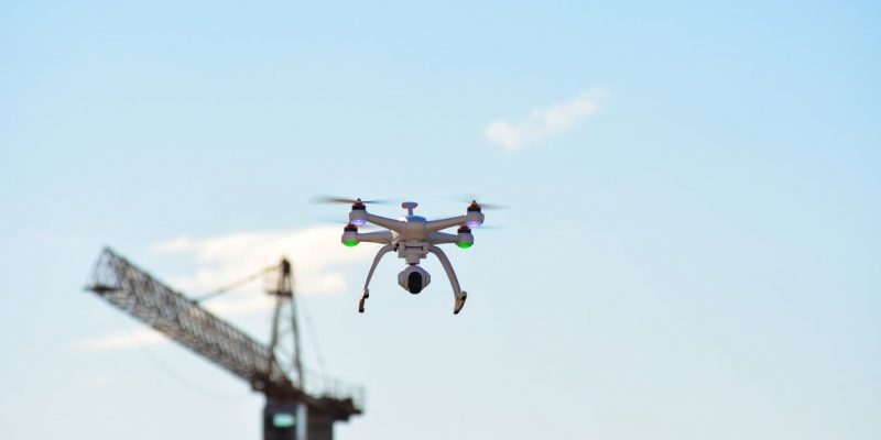
Advantages of Drones for Airborne Surveying
Risk Reduction – Safety and accidents related to falling due to rugged terrain or land elevations can add to construction budgets and impact construction workflow. These accidents can be significantly reduced when using drones to map or photograph construction projects, significantly reducing the risk of personal injury. The use of drones has been attributed to lowered onsite accidents and medical costs in all phases of pre-construction, planning, and erection.
Faster Acquisition of Data – While ‘time is money’, in the construction industry time is generally not valued over and above the quality of data – because in the long run, quality information will save time and money. Drone technology is unique in that inspections and surveys can be accomplished in record time, while the data retrieved is of premium quality. Drone technology allows each project to retrieve data at an appropriate accuracy level, using relative accuracy for information gathering or absolute accuracy for design engineering and construction phases.
Improved Data Resolution – For construction projects that may have used manned helicopters or planes to retrieve topographic data, drones can fly closer to the ground surface and supply much-improved data resolution for aerial surveying and photography. When combined with state-of-the-art software solutions for drone surveying, along with cloud-based, high-resolution 3D mapping solutions, problem areas are captured more accurately and virtual collaboration between all project stakeholders is more efficient.
Access to Unreachable Locations – The most common use for drone surveyance is in measuring locations where vehicles and personnel can not otherwise access. Surveying roadways, flooded areas or congested city landscapes are perfect assignments for drone technology. The technology offers a cost-effective alternative to surveying hazardous sites, in a matter of hours compared to days or weeks.
Drones are also a good method to survey and document as-built environments prior to construction decisions. Contact us to work with a surveying firm that values accuracy over speed and safety over costs while producing high-quality, data-rich drone surveys.