Mr Jason Morehouse
 It is with great pleasure, Godfrey-Hoffman and Associates announces Mr. Jason Morehouse has recently joined our team.

It is with great pleasure, Godfrey-Hoffman and Associates announces Mr. Jason Morehouse has recently joined our team.
 It is with great pleasure, Godfrey-Hoffman and Associates announces Mr. Jason Morehouse has recently joined our team.
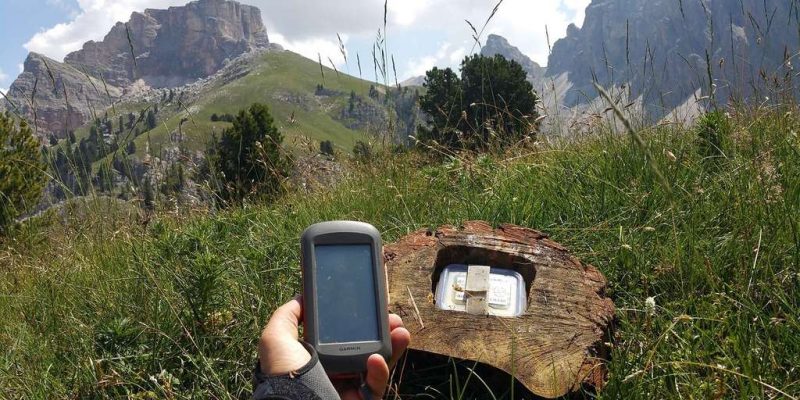
Who would have thought that marrying technology with recreation would result in a game so adventurous and full of fun? The way finding technique maybe a new one, but the idea is as old as probably the advent man himself. Geocaching is an entertainment method that makes use of the accuracy of the Global Positioning System (GPS) and the easy availability of devices which carry this system. With a basic smart phone or a positioning device, today anyone has access to global positioning accuracy up to ten meters.
Several websites, both paid and unpaid offer various geocaches all over the globe which people can log on to and choose. These have varying difficulties from beginners to expert players. Real time communication can happen between geocacher and people searching for geocaches via internet where they can share geographic coordinates, clues, pictures and other information.
Here are few Geocatching websites to visit:
Geocaches are often boxes buried into ground containing a notebook to log in when the geocache is discovered in addition to everyday objects to swap when seekers find it. This game can be played by friends, families and even solo adventurists. The primary website portal for geocaching is Geocaching.com which as per July 2007 said it listed 422,892 active geocaches worldwide. This fun way of discovering and way finding is here to stay and only to get more popular.
References:
Webb, Robert M. (2001) Recreational Geocaching: The Southeast Queensland Experience. In 2001 – A Spatial Odyssey- Australian Surveying Congress – Brisbane September 2001., September 2001, Brisbane Convention Centre.
WhatIs.com,. “What Is Geocaching (GPS Stash Hunting)? – Definition From Whatis.Com”. N.p., 2016. Web. 3 Mar. 2016.
Open.ac.uk,. “Geocaching And Learning”. N.p., 2016. Web. 3 Mar. 2016.

Global climate change which was until more recently considered an over rated phenomenon is today understood as a very real threat to the ecosystem of the planet. The State of California has been majorly affected by the lower levels of precipitation and soaring temperatures resulting in one of the worst droughts the state has seen in the past 50 years. Some one billion trees have been affected by the drought with 29 million already dead.
Continue reading “Drought in California and its effects on the trees”
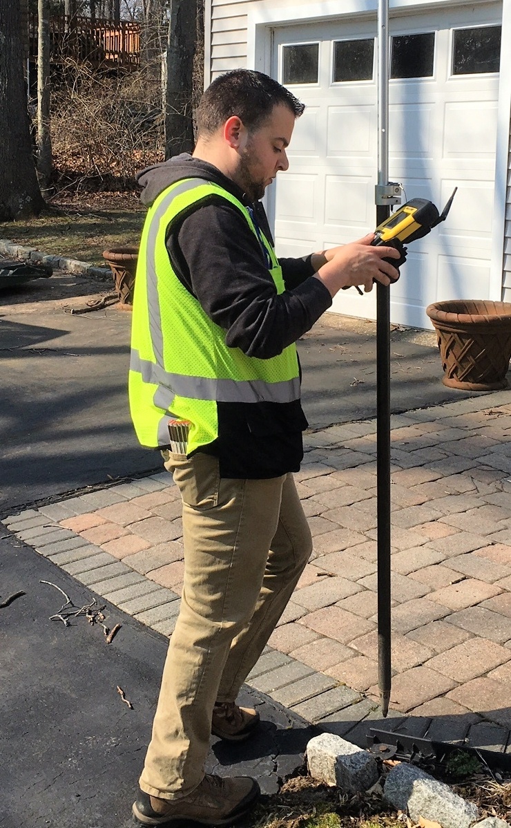
 The ability to determine the boundaries of a property is very useful, particularly for homeowners and developers who are planning to improve and expand their structures.
Finding these property lines is important for those who want to defend their homes from boundary encroachments and homeowners should also know their exact location in order to maintain the complete value of their property.
 A civil engineer is responsible for many facets of a project, such as designing, planning, managing, and creating reports on construction jobs. These responsibilities are even more important when it comes to commercial projects.
The responsibilities of a civil engineer increase extensively when working on a commercial project. They take on a more hands-on role in developing and making sure that the job is done safely and accurately. Commercial construction projects are more complicated and require a more planned and detailed approach.
Continue reading “The Role of a Civil Engineer in a Commercial Project”
 Land is considered to be one of the best long-term assets that anyone can have. It is of high value, is always in demand, and is easy to liquidate.
On the other hand, owning a piece of land is not that easy. It includes certain duties and responsibilities that the landowner is required to perform in order to maintain its market value.
Perhaps one of the most important duties is performing an updated Perimeter Survey to determine the land’s boundaries and size.
Continue reading “What You Should Know About Perimeter Surveying”
 Most of the time, making improvements to your property is a wise decision. Developing it is not only profitable, but it also maximizes land usage and can enhance the surroundings. Upgrading structures within your property can increase the value of the land which, in turn, can help you sell it easier.
On the other hand, improving or planning to improve your property requires certain regulations to be followed. As a result, one of the items needed for this task is an improvement location survey.