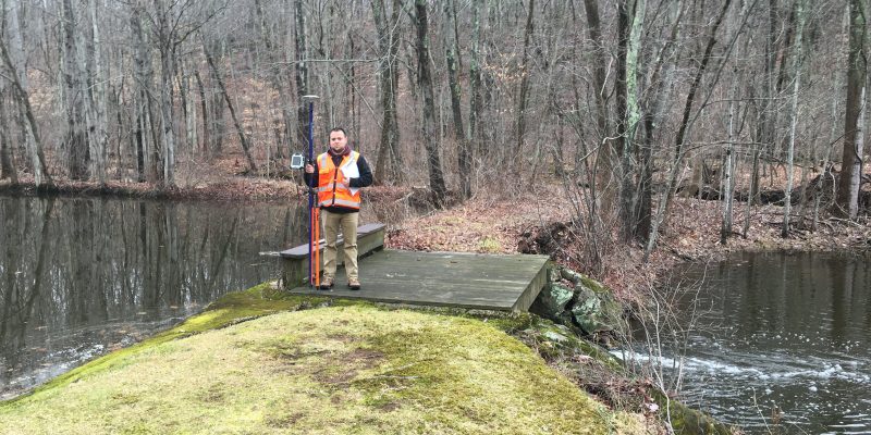
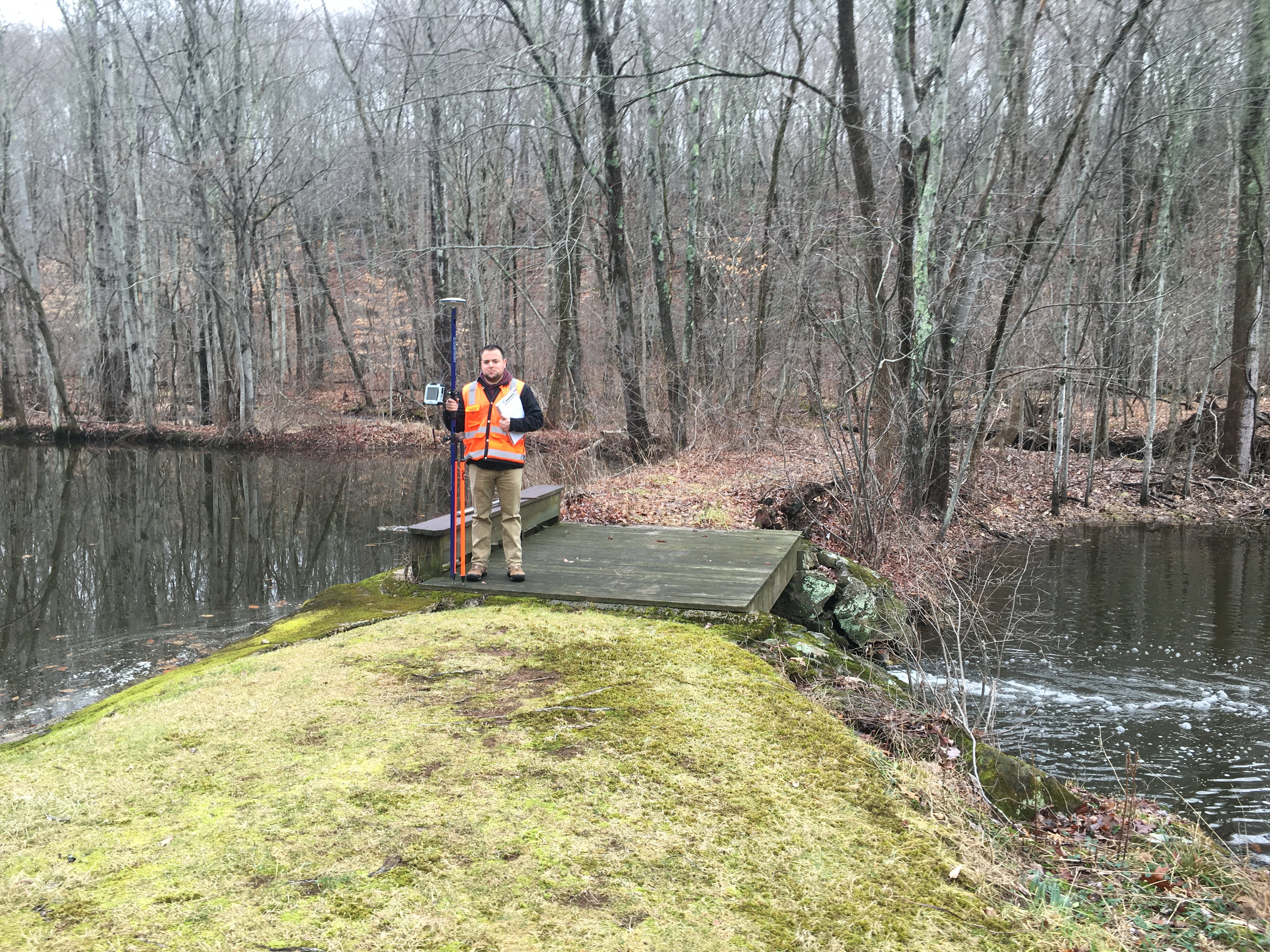
Recent advancements in technology, have made certain tasks more efficient, and the information derived from these to be more precise. The Global Positioning System (GPS), makes use of triangulation to determine the coordinates of positions at or near the surface of the land being surveyed. Triangulation is the trigonometric law by which the interior angles of a triangle can be calculated, if the lengths of all three triangle sides are known. The GPS system extends this imperative into three dimensions. This system uses various available satellites, orbiting the earth to help get the information required.
With systems like GPS, the surveyors are empowered to conduct precise surveys on complicated terrains, inaccessible areas like ravines and marshes with complete accuracy.
These systems also help them derive, process, calculate and overlay data, which can be shared with various parties from the client to the government agencies, and others, while making sure integrity of the data remains intact.
By employing GPS, a more holistic understanding of the property, and its context and environment, can be achieved. This information when shared with the stake holders, empowers them to make correct decisions based on shared information. These applications, not only provide land dimensions, but also identify features like topographical details, vegetation, and any other environmental condition that may be negated by the naked eye.
GPS software, and other associated technologies, are used for collection, importing and conversation and storage of data on field. The limits of this does not only end here though. Its applications continue in pre-planning, scenario construction, construction phase, and post completion times as well.
In today’s time and age, these tools not only make the process of land use and development easier, but also make it much faster and accurate than ever before.