Why GHH? Ask Surveyor Calvin Weingart…

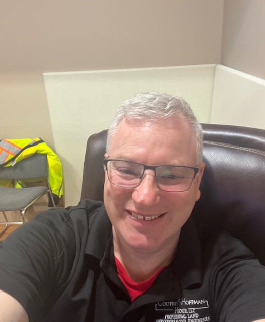
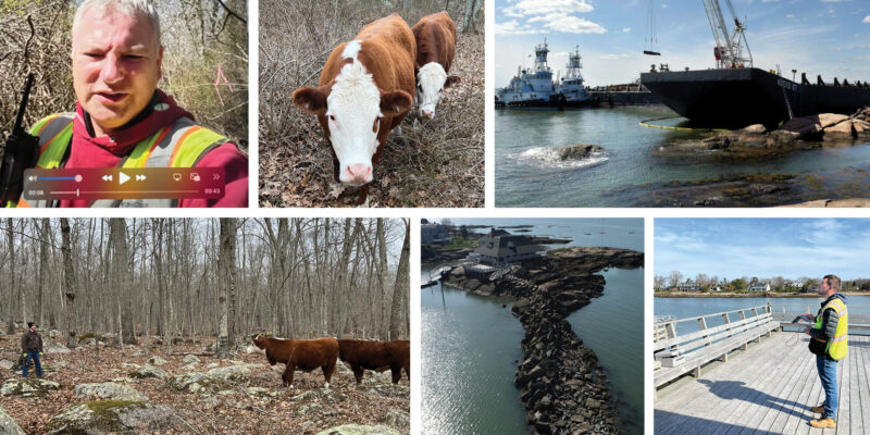
Meet Surveyor Calvin Weingart, P.L.S.

A Q & A with a 25 year veteran surveyor, Calvin finds passion and inspiration in his work and brings that to GHH’s clients on every project. 

How long have you worked at GHH?
I have worked here since June 15, 1998, so a little over 25 years.

What do you do and why do you do it?
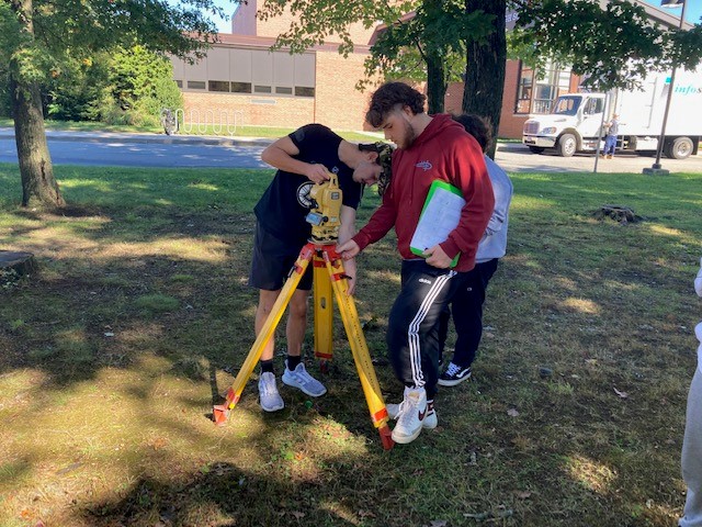
I am a Professional Licensed Land Surveyor.  I do it because it is a good mix of outdoor physical activity and indoor intellectual activity.   I’ve been the Survey Manager at Godfrey Hoffman Hodge since 2015. I enjoy every aspect of the position from initial client contact to mission planning and execution to training and mentoring of survey technicians.

Why should someone seeking a survey contact GHH over your competitors?
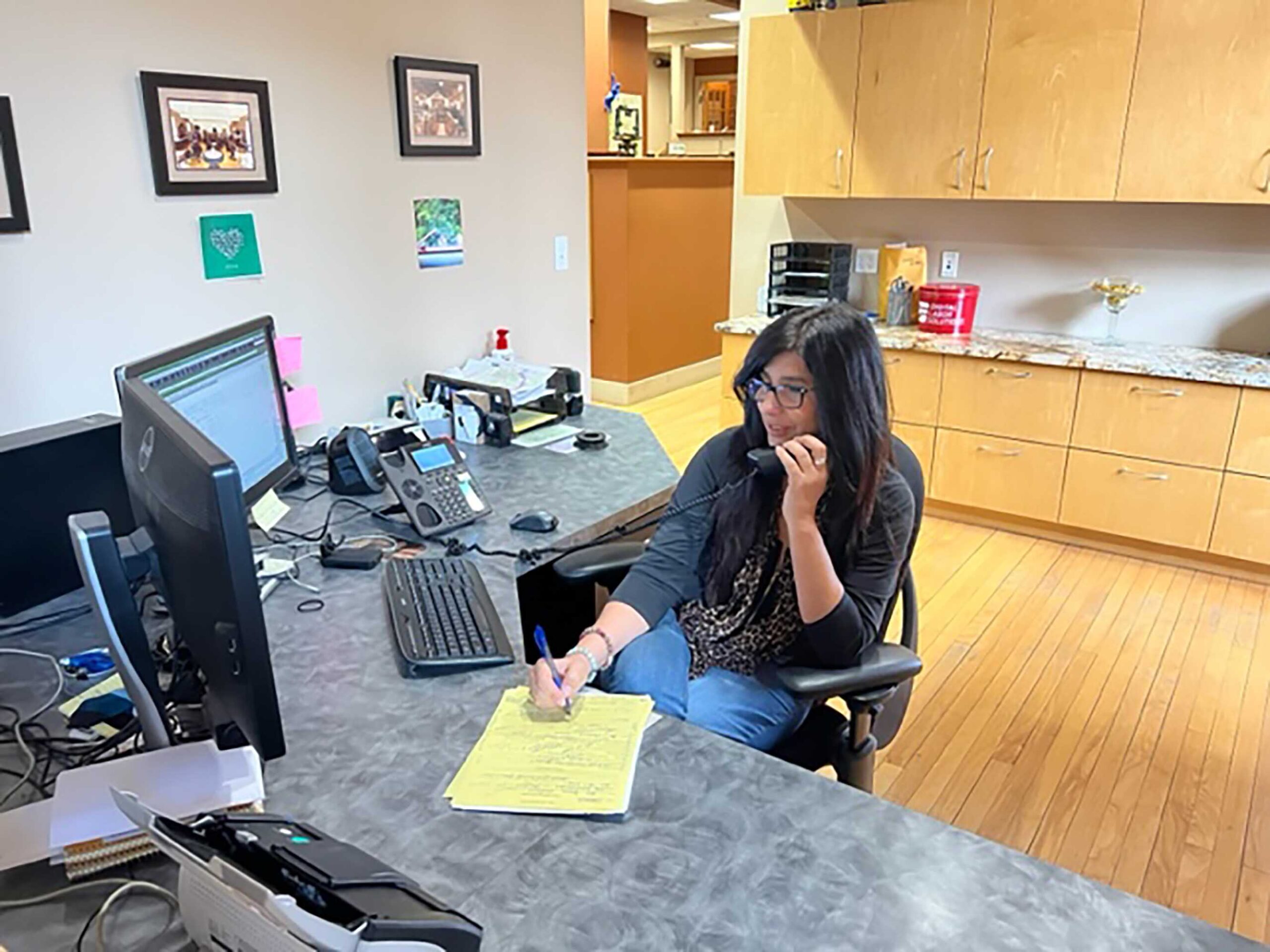
I manage each job as I would want it managed if I was the client: consistent communication, performance to utmost ability, professionalism, patience. My goal is to minimize the chance the client will ask for an update.

What does a typical day look like for you?
I get in the office a little before 8 most days and review the plan of the day for our department.  I start mission briefs promptly at 8:00 and get the crew(s) ready to head out to the field.  If I am part of the field crew I gather files, gear and people and try to be out by 8:20 or so.  Between travel time and company hours there is only about 5 hours of onsite time so every minute counts in the morning.

If I am working in the office, I get the crew(s) launched out the door and start working on whatever task I have for myself that day.  This can range from survey computations, autocad drafting, land records research and quality review of completed surveys.  I have a dual mission in the form of staff and client support, so I am often switching from one function to another.

By about 2:30 or so I start thinking about the next day’s tasking to try and stay ahead of everyone so there is minimal down time and maximum efficiency.  By 3:30 the crew is usually back in, if they aren’t in already. They download the day’s data files and process all the info.  We attend to a few administrative chores such as time keeping and we wrap up at 4:30 with, hopefully, the next day planned out and all gear and files set to go.

What has changed during your career?
Technological advances in data collection, the availability of very accurate open-source data and municipal GIS.  All for the better or worse depending on your point of view.

What hasn’t changed?
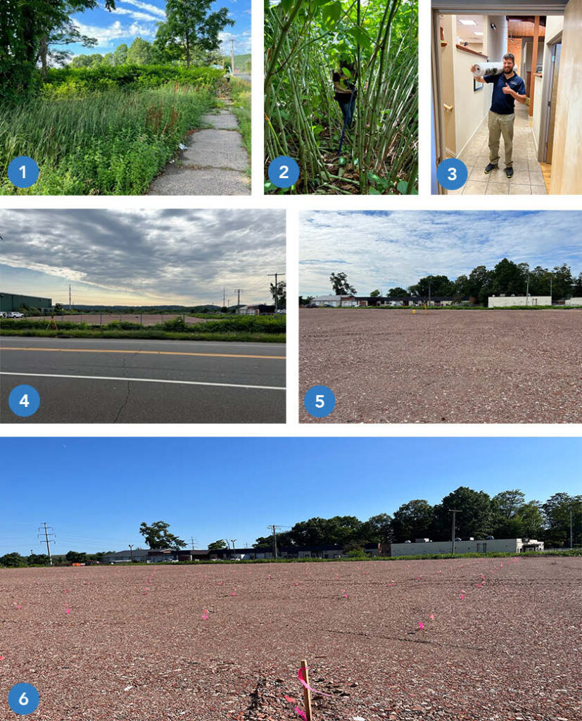
The need for a professional surveyor’s expertise to verify measurements, the need to apply the rules of evidence and interpret boundary law and chopping line through dense brush on very hot days.

What’s the most interesting property you ever surveyed?
I  can’t name the exact property but I did get a chance to work in a very interesting location in the very heart of New Haven . Lets just say that we worked in spaces where some globally powerful people once socially  gathered in private.

What’s the hardest property you ever surveyed?
That is a subjective question! Some small parcels are very challenging with respect to forming a boundary opinion so the hard part is intellectual. On the other hand, some large parcels are physically demanding, such the 100 plus acres we surveyed in North Stonington.  I had two back to back days of walking 8 plus miles during one phase of the job. And there was the job this summer where we located and identified 612 trees.

What keeps you going back?
My job checks all the boxes for me: Physical work, intellectual work, technical expertise, mission planning, leadership, doing something that is a little offbeat that most people know a little about but not too much.  And finally, I am truly fortunate that I found a career in which you can start at the very bottom and work your way up to professional licensing through (I know this sounds quaint) hard work and dedication.

How Land Surveyors Set The Stage For A New Building

This Is How We Do It…

This sequential photo montage highlights all the phases involved in preparing a site for the construction of a new building.

  1.  The undeveloped, overgrown site in Hamden, CT at commencement of survey work.
  2.  Site conditions during field work with survey gear.  As we often do, our crew contends with towering, tangling vegetation.
  3.  A year later, after site design and the permitting process, the finished plan set is delivered to the town permitting agency.
  4.  The site is cleared and prepared for construction.
  5.  The crew and survey instrument are in position to locate and mark 384 points for Helical Pile installation.  (These piles, or piers, are used to stabilize soil to support the building foundation).
  6.  The pier stakeout is complete and the site is ready for the pile driving crew to commence work. Each location is identified by the  pink whisker flag and orange numerical identifier.

Once the piers are installed the foundation will be marked out for construction.

Stay tuned for updates as we follow this project to completion!

Tales From The Front Desk

How GHH Helps When You Call…

A short interview with GHH Office Manager Maria Latella lets you know how we can help you with your needs and goals. A GHH inquiry intake story:

What does a typical request look like?

Depends on the caller’s specific survey or engineering needs but most of the calls are for services related to residential property, commercial property, elevation certificates, additions, subdivisions or construction layout.

What kind of information do you need or are listening for during these conversations?

It starts with contact information, who a proposal should be sent to (it does vary depending on the situation), who will be responsible for financials, and finally, what is the purpose of the survey or engineering services.

What happens after gathering the basic information?   Does the conversation end or continue?

It might end with a brief description of what the client can expect for next steps or it might continue depending on input from the client.  For example, if a client is unsure of what specific type of survey is needed we can ask some questions about what they are trying to accomplish.  If they want to see where their boundaries are marked on the ground that is one type of survey.  If they are planning on improvements to the site, that is another kind of survey.  In addition to helping determine the type of survey needed, it’s a good chance to describe the value of each.

Is it difficult to get to that point in the conversation?  Do you listen for key words or specific scenarios the potential client is referring to?

We listen for key words such as “flood insurance” or “I live on the shore” which most likely relates to completing a flood certificate.  Or, phrases such as “ I want to do an addition” and“ We have land we want to subdivide” can help drive what type of service is needed and how we can help.   Most clients are not aware of the various types of surveys so we try to lead the conversation to narrow down the list in order to provide the most appropriate proposal we can from the start.

How do you leave off with a client?

I will always explain next steps, specify who will accomplish them (e.g. , a Licensed Land Surveyor or Professional Engineer) and when to expect communication.

What is your overall goal when speaking with a potential client?

The goal is to convey a sense of confidence, that we are patient, that we care about their request and care about their end goal.

What is one thing you want clients to know when they call Godfrey Hoffman Hodge LLC?

There are lots of way we can help with your needs/goals.  The more we communicate, the better, and faster we can help

GHH Supports Future Surveyors

Lyman Hall Launches Survey Module

GHH is pleased to play our part in this new and exciting program…

In September 2022, Lyman Hall High School in Wallingford launched a surveying module in the Agriculture Science Department. The objective of the one semester course is to provide exposure to the career field and basic skill training. Students who take the course are immersed in basic surveying, mapping concepts and introduced to the standards of work and expectations for the surveying profession.

Throughout the course students gain skills in operating tools for land measurement, reading and making maps, operating unmanned aerial systems (drones), to collect remote sensing data, researching land records, and manipulating data in software such as AutoCAD, Access, Pix4D, and Carlson Photo Capture.  Assignments are associated with real world scenarios. To support the technical side, a wide range of surveying equipment and software was procured through two separate Perkins Career and Technical Education Grants. Students will have opportunities to get hands-on instruction and experience with set up and operation of total stations, data collectors, prism poles, tripods, GPS rovers, RTK and non-RTK UAVs.

Curriculum development was supported by The Institute Of Real World Education and Curriculum Advancement (IRWECA) at Southern Connecticut State University.  The objective of IRECA is for the interdisciplinary educator teams to be able to “develop and implement interdisciplinary curriculum modules aligned with industry needs and best practices in education.” (https://biopath.southernct.edu/irweca)  The team for Lyman Hall consists of Emily Picard,  Wildlife Biology teacher from the Agriculture Science Department,  Ryan Sheehan, Engineering STEM teacher  from the Science and Technology Department, Marjorie Drucker, curriculum facilitator from Drucker Educational Consulting LLC and Calvin Weingart, a licensed surveyor with Godfrey Hoffman Hodge LLC filling the role of industry consultant.

The team has met monthly since January 2022 to share ideas and goals, learn about the surveying profession and ultimately support the development of the curriculum now underway. We are confident that these high school students will come away from the course with the knowledge that the surveying career field is relevant, accessible and intriguing.  Ultimately, the hope is that the students will bring their youthful enthusiasm and passion for learning to the surveying profession.

We are glad to be a part of this exciting program – it’s always a thrill to share our knowledge and help push the profession forward!

Tales From The Field

Recent Work Had Us Surveying Wetlands and Coastline

Cows, Drones and Projects in the News…

Calvin Weingart surveyed wetlands in North Stonington – he was greeted by a few wandering cows on this assignment.

Zach Weingart provided a drone survey for the Sachem’s Head Yacht Club where a grounded barge had to be removed from the breakwater. An article in the New Haven Register provides the backstory in further detail – link here to read about it.

Commonly Overlooked Factors When Assessing a Property

When selecting a prospective house or patch of land, most people are easily enticed by the usual factors like location, size, price and even structural design. But acquiring a property means that you need to be mindful of even the tiniest details. Otherwise, you might face unexpected conflicts or the value of your new property may be badly affected later on.

Continue reading “Commonly Overlooked Factors When Assessing a Property”

Setbacks, Easements and Density Restrictions… Oh My

peri urban residential resized 600Getting control of a piece of land for development is a big first step. However, just because you have the land and you have a vision for the building you want to construct doesn’t mean that you can always put the two together. What you’re going to be able to build — and where you built it — will get determined by what comes up on your survey.

Continue reading “Setbacks, Easements and Density Restrictions… Oh My”